My Brisbane: your whole neighbourhood, in one place
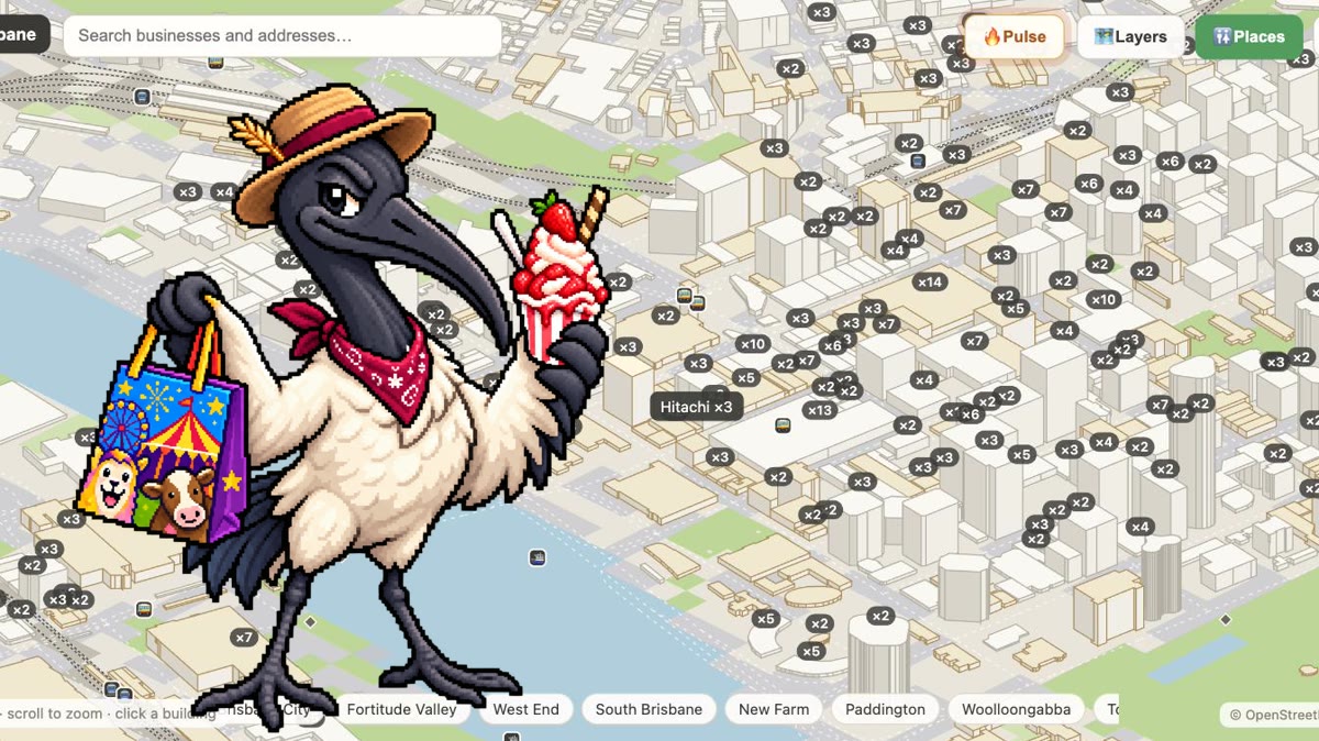
Barry the bin chicken has his whole life sorted around about four things: which bins go out when, which park has the best crowd, and which way to walk to avoid the magpies. He’s not organised, exactly — he just keeps the same short list in his head and checks it every morning. My Brisbane is that list, for you: one page that quietly keeps an eye on the corner of Brisbane you actually live in.
What My Brisbane is
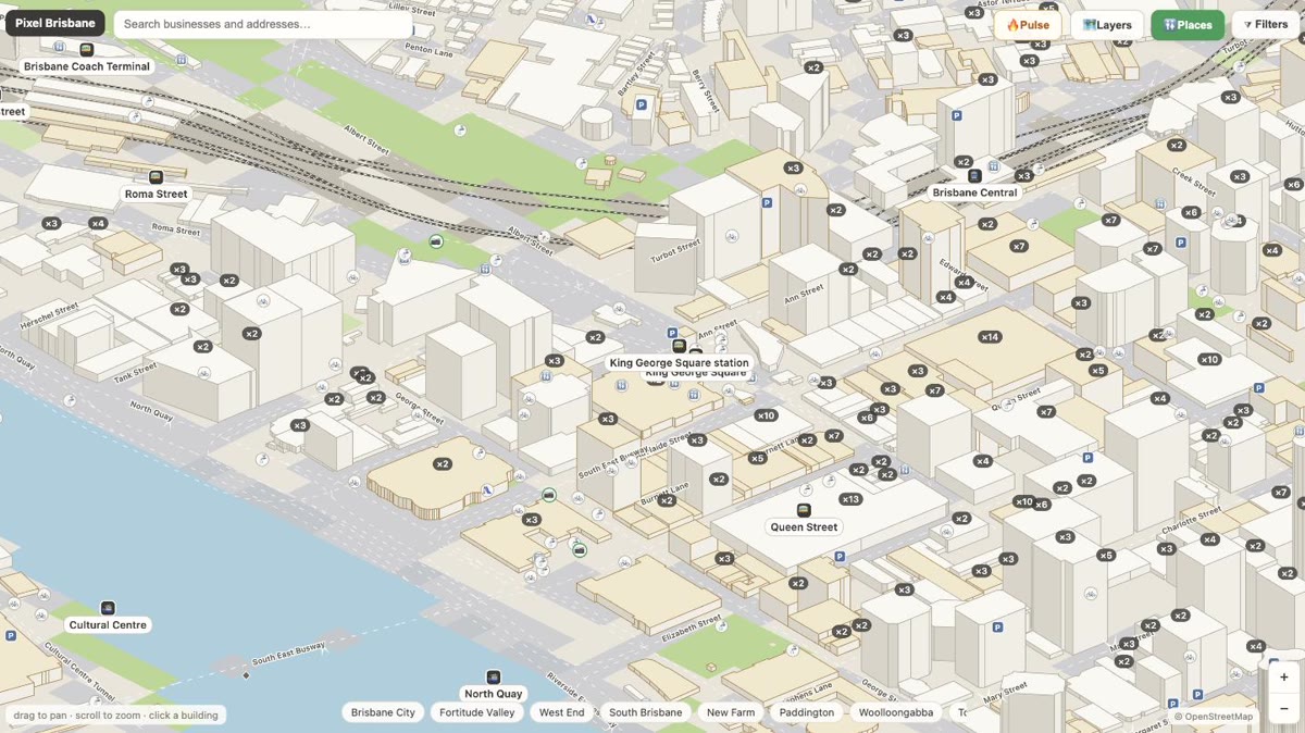
My Brisbane is your personal view of the map — “your Brisbane, in one place.” Instead of the whole city, it shows the streets, suburbs and places you’ve told it matter to you, and surfaces the practical stuff: what’s on nearby, what’s changed, and what to know before you head out. It’s free, works on your phone, and the more you tell it, the more useful it gets.
Today: what changed near you
The 📥 Today section is the morning glance. It gathers what’s new around the places you follow — a fresh community photo of your suburb, a magpie swoop reported on your street, an event that just landed near home, a road closure that wasn’t there yesterday. If nothing’s changed, it says so. No doom-scroll, just your neighbourhood’s news in a few lines.
Near home & this week
- 🏠 Near home — what’s on within a short walk of your saved home, tonight and soon.
- 📅 This week — a roundup from the suburbs you follow, so you never miss a market or a gig on your patch.
- 🎟 My events — the events you’ve marked “going” or “interested,” with an optional reminder and a one-tap add-to-calendar.
Save and watch the places you care about
Pin your home, work and school, follow a suburb, or put a watch on a specific address or business. From then on, anything relevant near those places lands in ⭐ Saved & watched and in Today — including the everyday things Brisbane runs on, like your bin day, which the map knows for every address from the council’s own schedule. Follow the one suburb you live in and you can even get a short weekly digest by email.
Roadworks, storm and flood
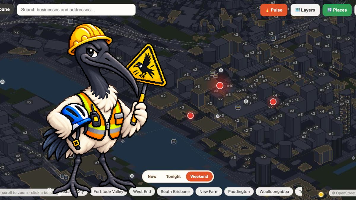
Two more panels earn their place in a Brisbane spring and summer. 🚧 Roadworks nearby flags closures within walking distance of your places, straight from Council data, so a blocked street isn’t a surprise on the way out. And ⛈️ Storm & flood mode shows, for each place you’ve saved, its flood standing and any active closures around it when the weather turns — with a clear reminder that it’s informational, and that Triple Zero and the SES come first in a real emergency.
Setting it up
Open My Brisbane and it works straight away — the whole thing is usable signed out, with the personal touches layered on top once you’re in. To make it yours, sign in, pin your home, work and school, and follow a suburb or two. That’s the whole setup. Everything runs on open data — OpenStreetMap, the ABS Census, Brisbane City Council and TransLink — cross-checked and refreshed, the same map that draws every building in the city.