Heritage-listed Brisbane, building by building

558 places around Brisbane are entered in the Queensland Heritage Register — from City Hall and the Treasury Building to the Windmill Tower, Customs House and the Story Bridge. Because we draw every building in 3D, the listed ones get their own look on the isometric map: parchment roofs with a bronze outline. Search below, or jump to a suburb — every entry links to its register listing.

Illustrated landmarks

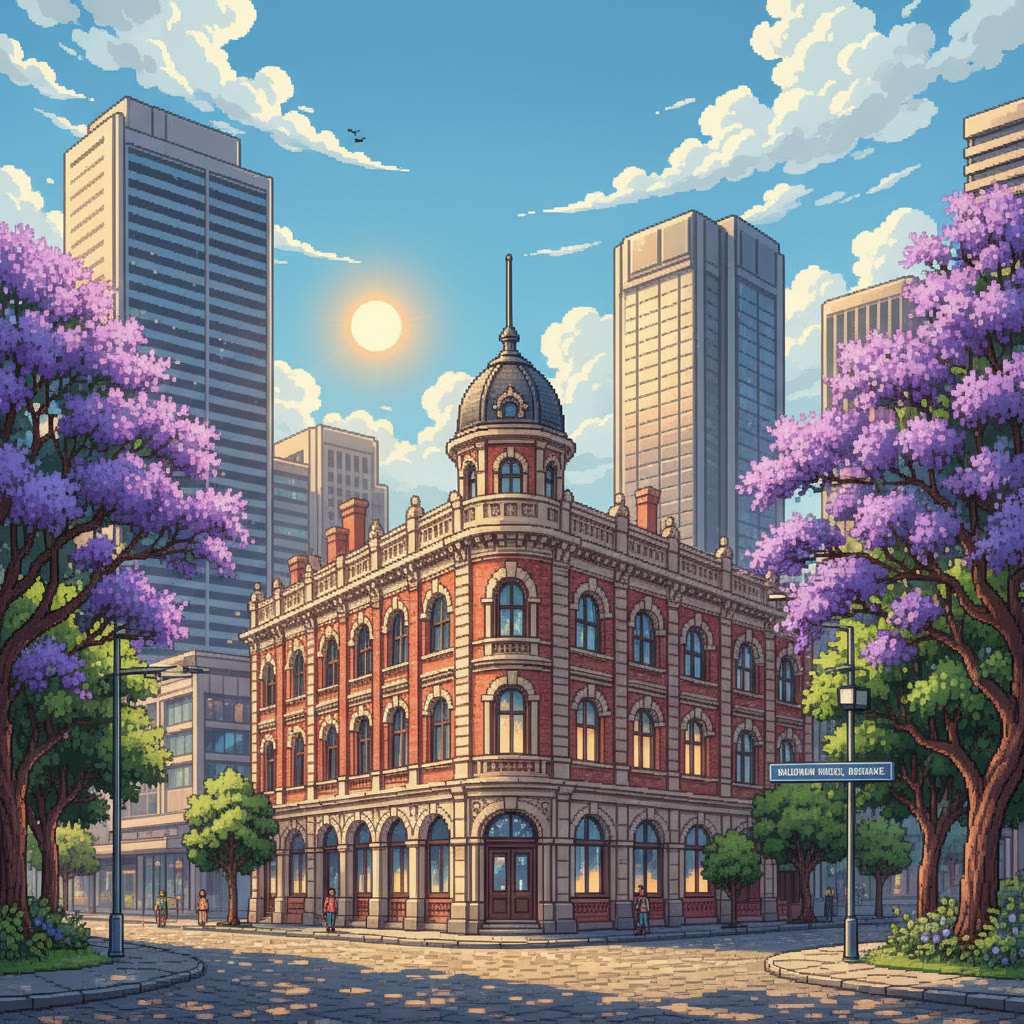
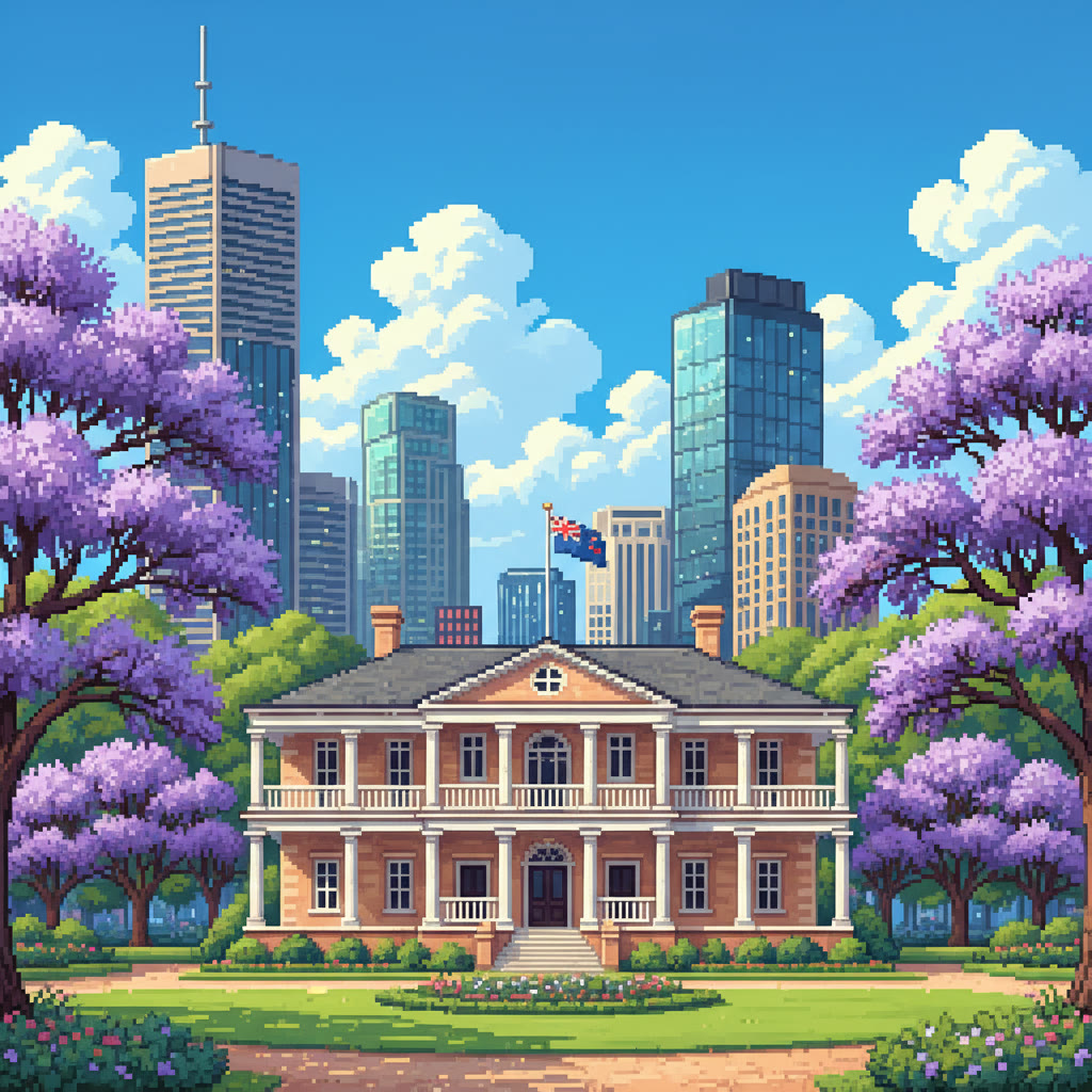
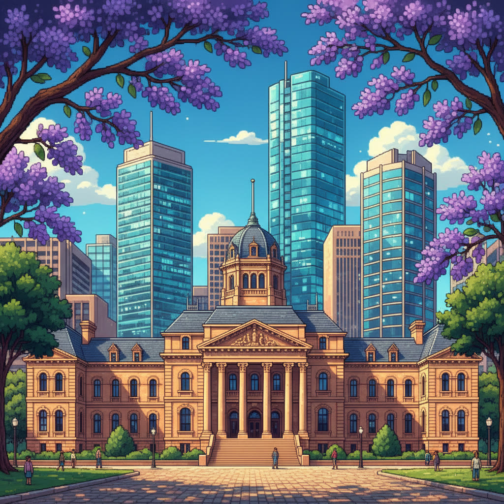
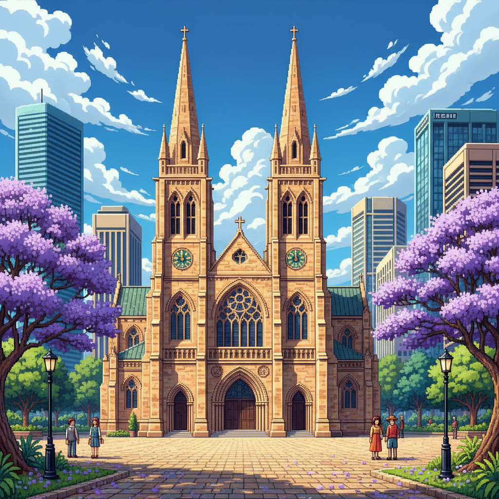
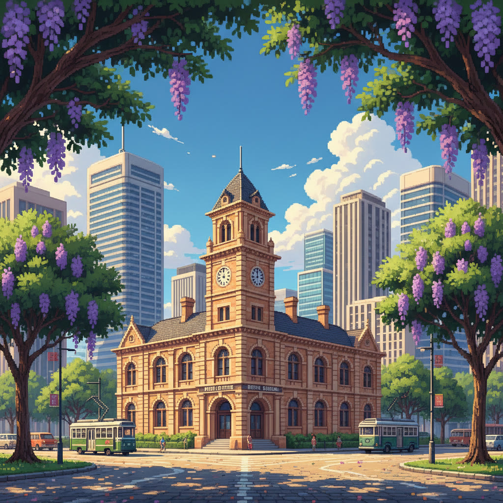
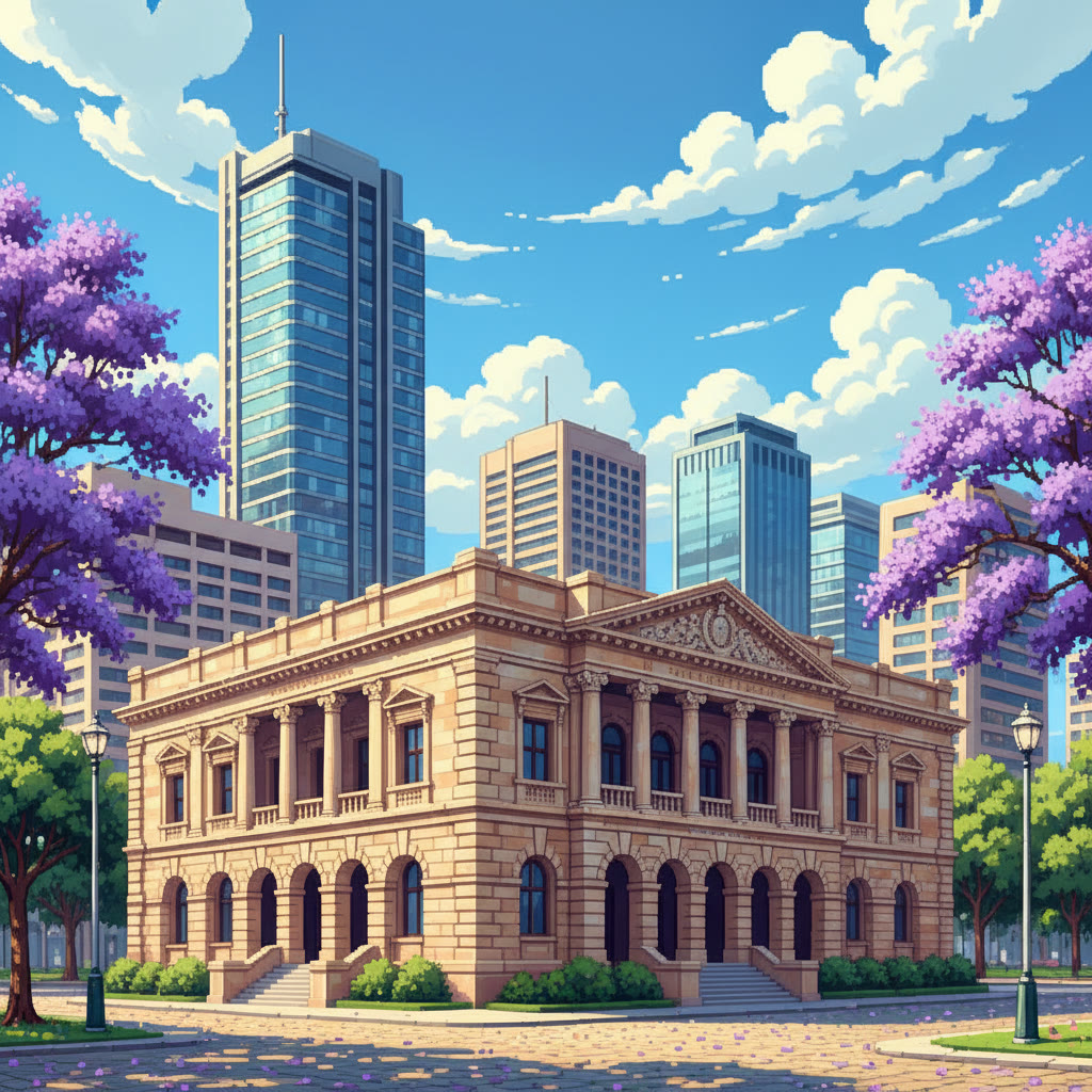
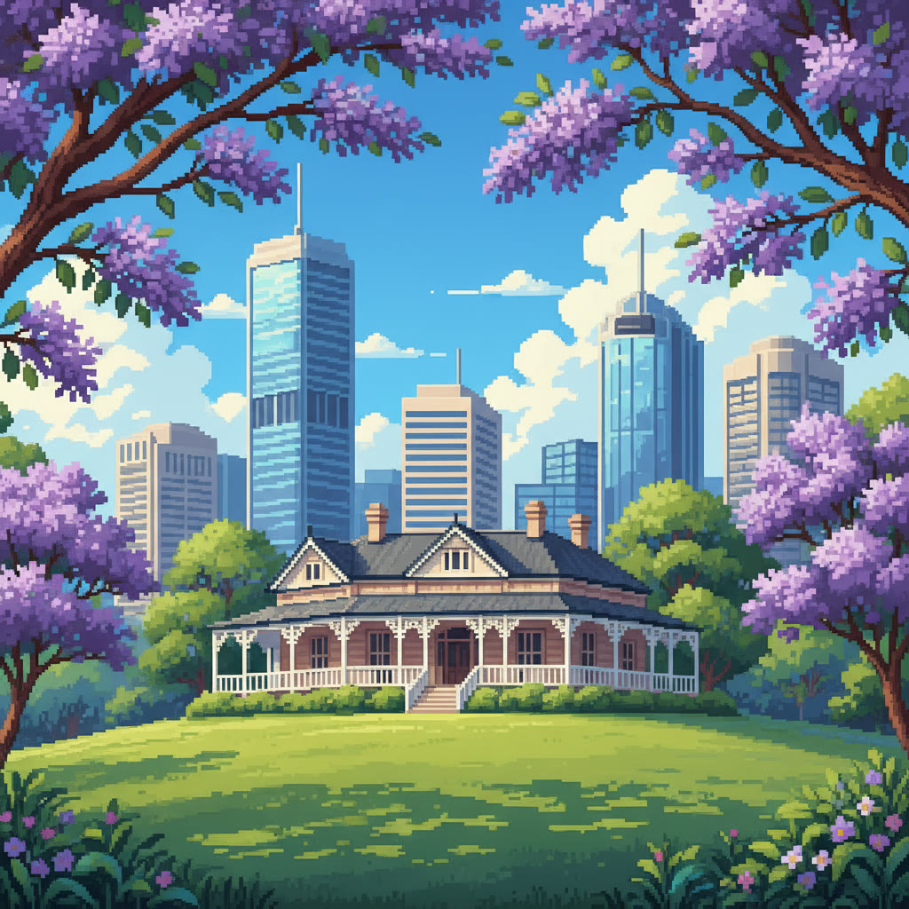
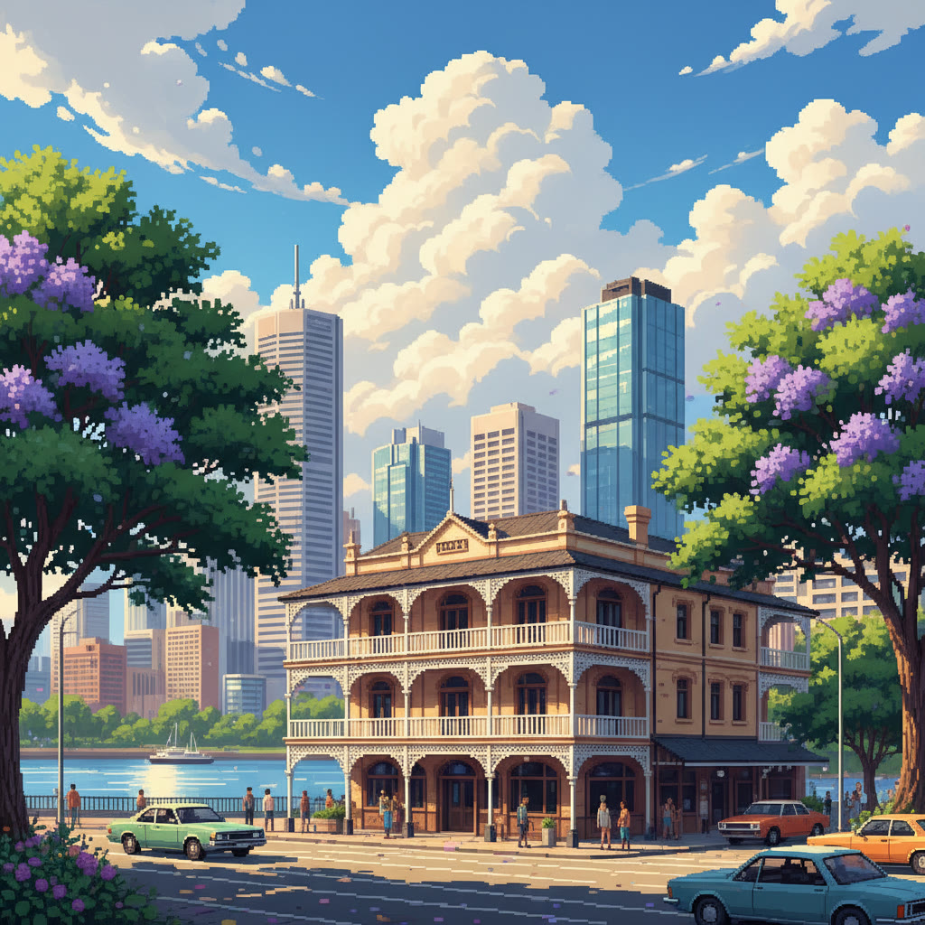
Pixel Brisbane illustrations of some of the best-known listed buildings — a stylised impression, not a photograph.
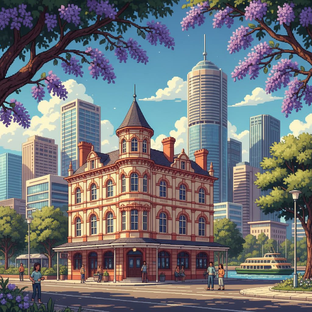
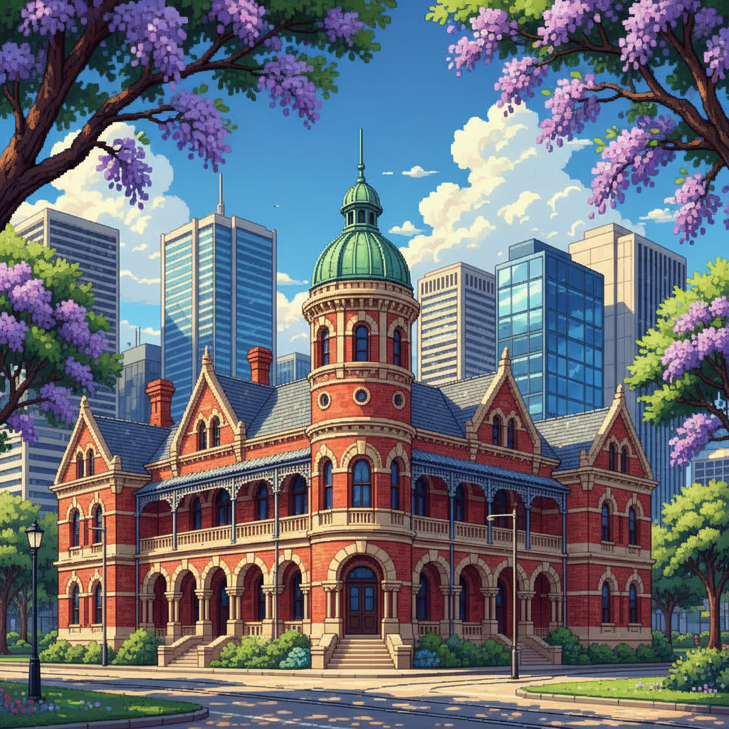
Illustration of Breakfast Creek Hotel
Breakfast Creek Hotel
Illustration of Old Museum Building
Old Museum Building
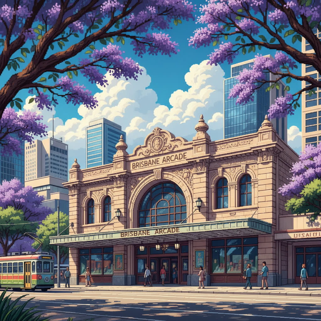
Illustration of Brisbane Arcade
Brisbane Arcade
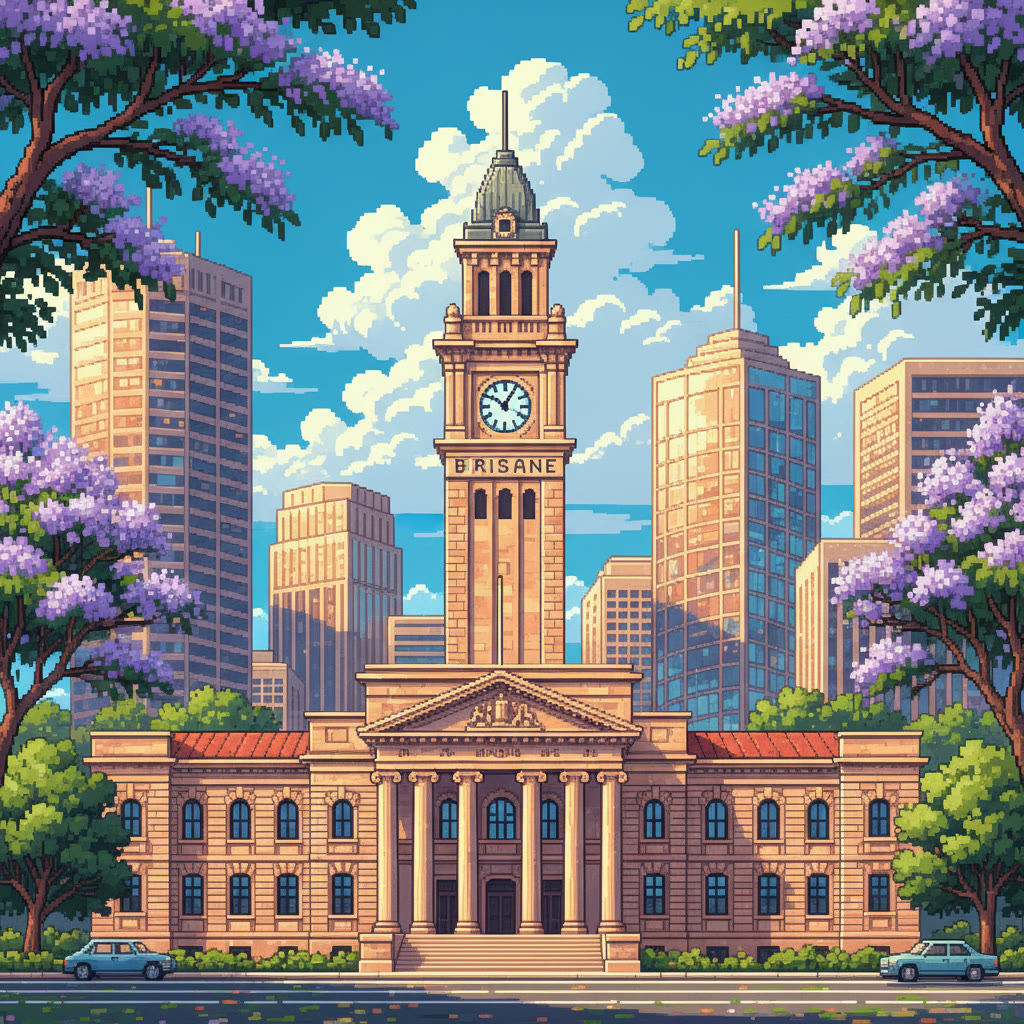
Illustration of Brisbane City Hall
Brisbane City Hall
Illustration of Brisbane Customs House (former)
Brisbane Customs House (former)
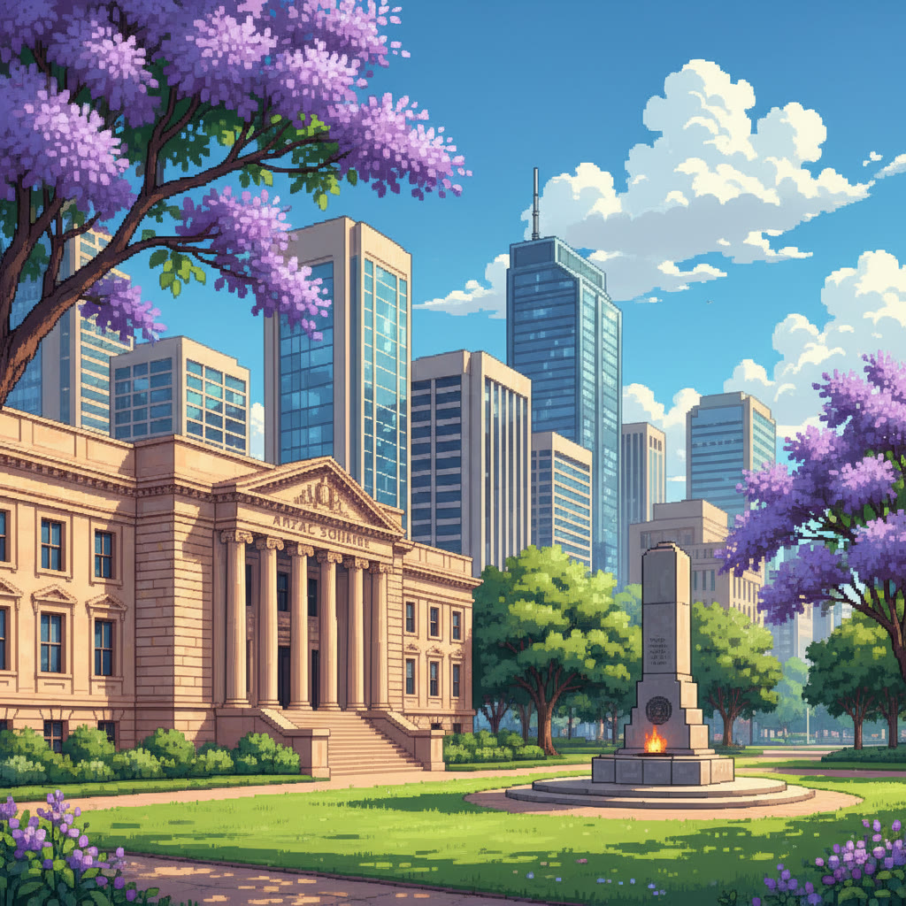
Illustration of Former Queensland Government Offices (Anzac Square Building)
Former Queensland Government Offices (Anzac Square Building)
Illustration of Naldham House
Naldham House
Illustration of Old Government House
Old Government House
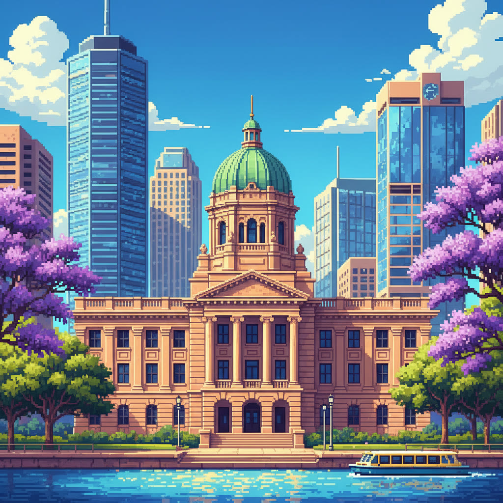
Illustration of Parliament House
Parliament House
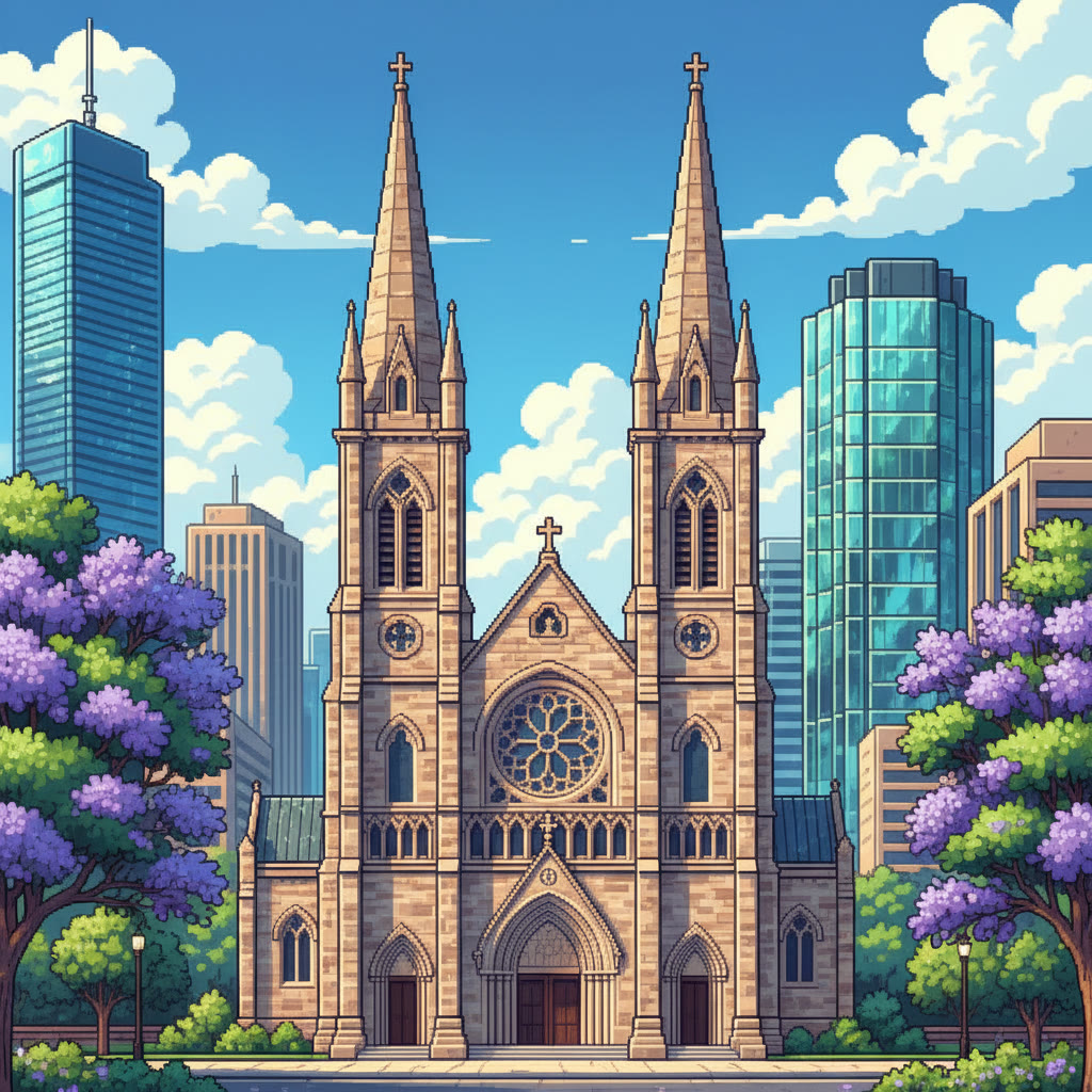
Illustration of St Johns Cathedral
St Johns Cathedral
Illustration of St Stephens Cathedral
St Stephens Cathedral
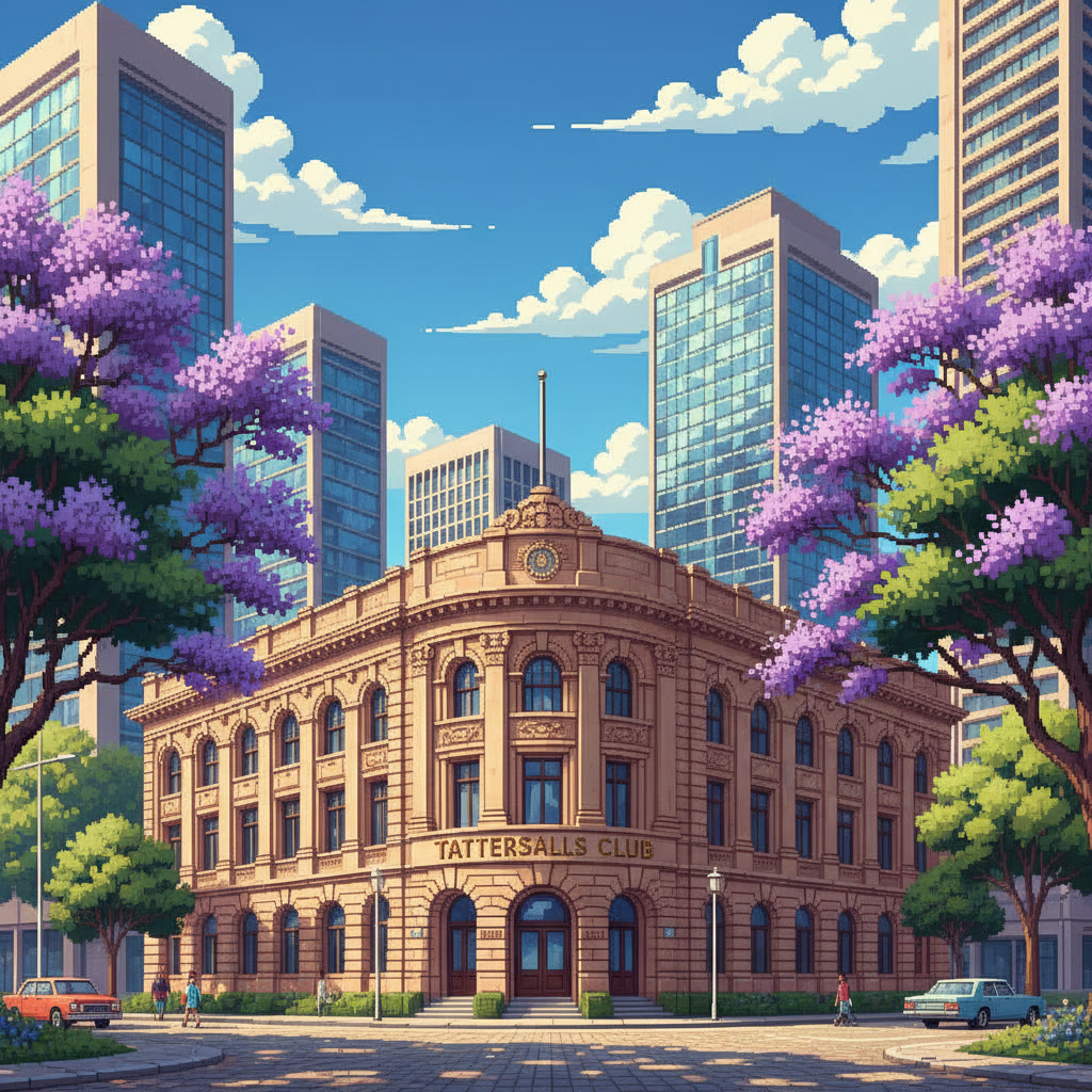
Illustration of Tattersalls Club
Tattersalls Club
Illustration of The Port Office
The Port Office
Illustration of Treasury Building
Treasury Building
Illustration of Newstead House and Park
Newstead House and Park
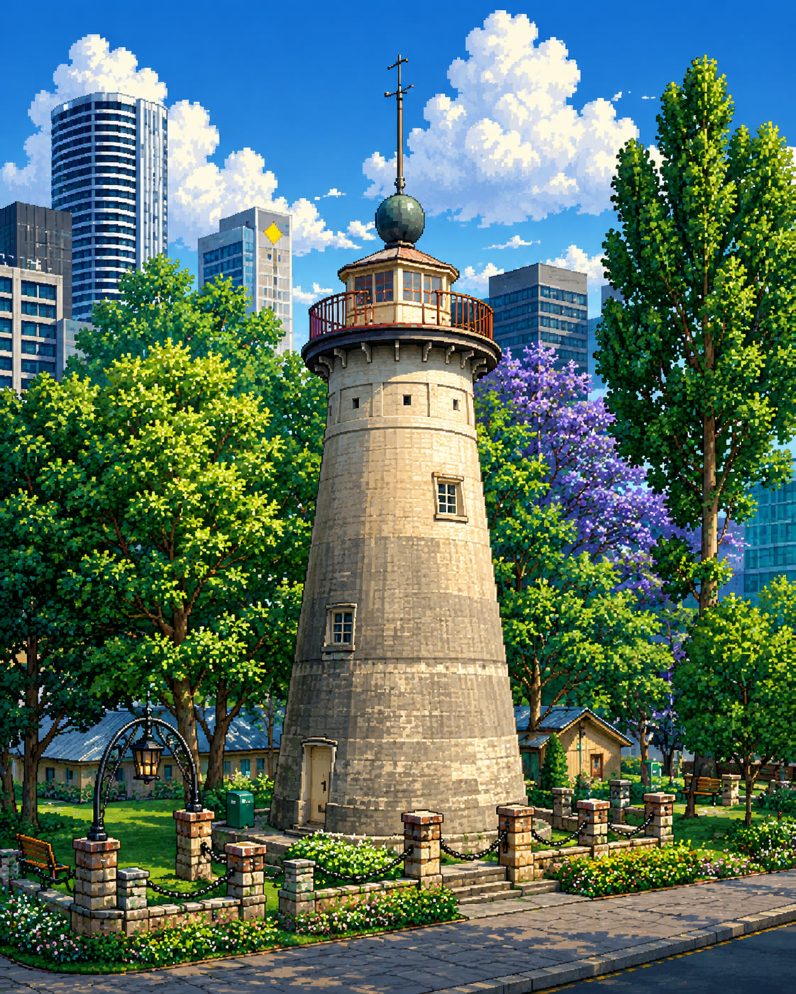
Illustration of Windmill Tower
Windmill Tower
Illustration of Regatta Hotel
Regatta Hotel

Brisbane City (111)

109 Edward Street138 Mary Street169 Mary Street62 Queen Street93-103 Edward StreetAlbert Park (North) air raid shelterAlbert Park (South) Air Raid ShelterAlbert Street Uniting ChurchAnn Street Presbyterian ChurchAnzac SquareANZ BankBAFS BuildingBrisbane ArcadeBrisbane Botanic GardensBrisbane Central Technical College (former)Brisbane City HallBrisbane Customs House (former)Brisbane Dental Hospital and CollegeBrisbane School of ArtsCastlemaine Perkins Ltd Building (former)Catholic CentreCentral Railway StationCharlotte HouseChurch HouseCity International Duty FreeCommissariat Store (former)Commonwealth Government OfficesCoronation Drive (North Quay) Retaining WallCustom Credit HouseDavid JonesDepartment of Primary Industries Building (former)Eagle Street Fig TreesEagle Street FountainEarly Streets of BrisbaneFamily Services BuildingFirst Brisbane Burial GroundFirst Church of Christ, Scientist, BrisbaneFirst World War Honour BoardFirst World War Honour BoardFormer Queensland Country Life Building façadeFormer Queensland Government Offices (Anzac Square Building)Former RS Exton and Co Building (Part)Former Victoria Bridge AbutmentsGardamsGovernment Printing Office (former)Hardy BrothersHarris TerraceHB Sales BuildingHeckelmanns BuildingHellesvereJohn Mills Himself BuildingKing Edward Park Air Raid ShelterLand Administration BuildingMacArthur ChambersMasonic TempleMcDonnell & East Ltd BuildingMonier Ventilation Shafts, Wickham TerraceMooneys BuildingMyer Store (former) [incorporating Miss Brisbane 600136]Naldham HouseNational Australia BankNational Australia BankNaval Offices (former), BrisbaneNewspaper HouseOld Government HouseOld Mineral HouseOld St Stephens ChurchOrient HotelPancake ManorParliament HousePeople's PalacePerry HousePetrie Bight Retaining WallPort Office HotelPublic Works DepotQueens GardensQueensland ClubRegent BuildingRiverside CentreRoma Street Railway StationRothwells BuildingRowes BuildingSir William Glasgow MemorialSmellie's BuildingSouth African War MemorialSouth East Queensland Water Board BuildingSpencers BuildingSportsgirlSt Andrews Uniting ChurchState Library (former)St Johns CathedralSt Martin's HouseSt Stephens CathedralSt Stephens SchoolTara House (Irish Club)Tattersalls ClubTelecommunications House (former)The Brisbane SynagogueThe DeaneryThe MansionsThe Port OfficeTranscontinental HotelTreasury BuildingTreasury Chambers & St Francis House & Symons BuildingTreasury HotelWatson Brothers BuildingWebber HouseWenley HouseWestpac Bank BuildingWilliam Jolly BridgeWilliam Street and Queens Wharf Road retaining walls

Spring Hill (35)

Fortitude Valley (33)

Greater Brisbane (20)

Paddington (18)

South Brisbane (17)

Kangaroo Point (15)

Toowong (15)

Source: Queensland Heritage Register boundaries (Queensland Government open data, CC BY 4.0) matched against OpenStreetMap building footprints. Greyed names are register places without a mapped building footprint — parks, wrecks, memorials and the like.

More ways to explore Brisbane

Best of Brisbane
Hand-picked lists: restaurants, coffee, pizza, bars and more.
📷Brisbane in photos
Real photos from people who live here, pinned to the exact spot on the map.
🐦Magpie swooping spots
A locals’ heads-up map of where magpies swoop in spring — add your own.
🚧Road closures
Current roadworks and closures across Brisbane, mapped by suburb.
🕒Open right now
Cafes, shops and services open at this very moment — updates through the day.
📮Brisbane postcodes
Every suburb and its postcode, from the official address database.
Wheelchair accessible
Step-free venues across the city, as surveyed on the ground.
☀️Outdoor seating
Patios, sidewalk tables and rooftops — Brisbane does al fresco.
🏖️South Bank
The parklands precinct: restaurants, hotels and the riverside strip.
✈️Airport parking
Terminal car parks, long-term lots and the free park & ride trick.
🚆Train map
Every station on the isometric map, with what’s in walking distance.
🌊Flood map
BCC river flood risk drawn over every building in the city.
🎡Queen’s Wharf
The new riverfront precinct: Sky Deck, restaurants, heritage streets.
Petrol stations
Every servo in the city, suburb by suburb, on the isometric map.
💜Jacarandas
Where Brisbane turns purple every October, and when to go.
🚻Public toilets
Toilets and drinking water fountains, suburb by suburb.
🛝Playgrounds
A thousand-plus playgrounds and the free BBQs to pair them with.
🏙️Tallest buildings
The skyline ranked by storeys — every tower drawn to true height.