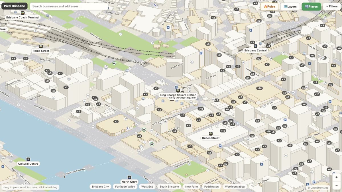
The map of Brisbane, building by building.

Pixel Brisbane is an interactive isometric map of Brisbane — the whole city drawn as a pixel world, every building extruded from real data, every business inside it on a card. Wander the map to find your next favourite spot, or put your own business on it.

10,742businesses mapped126,247buildings drawn

🗺️ Open the map

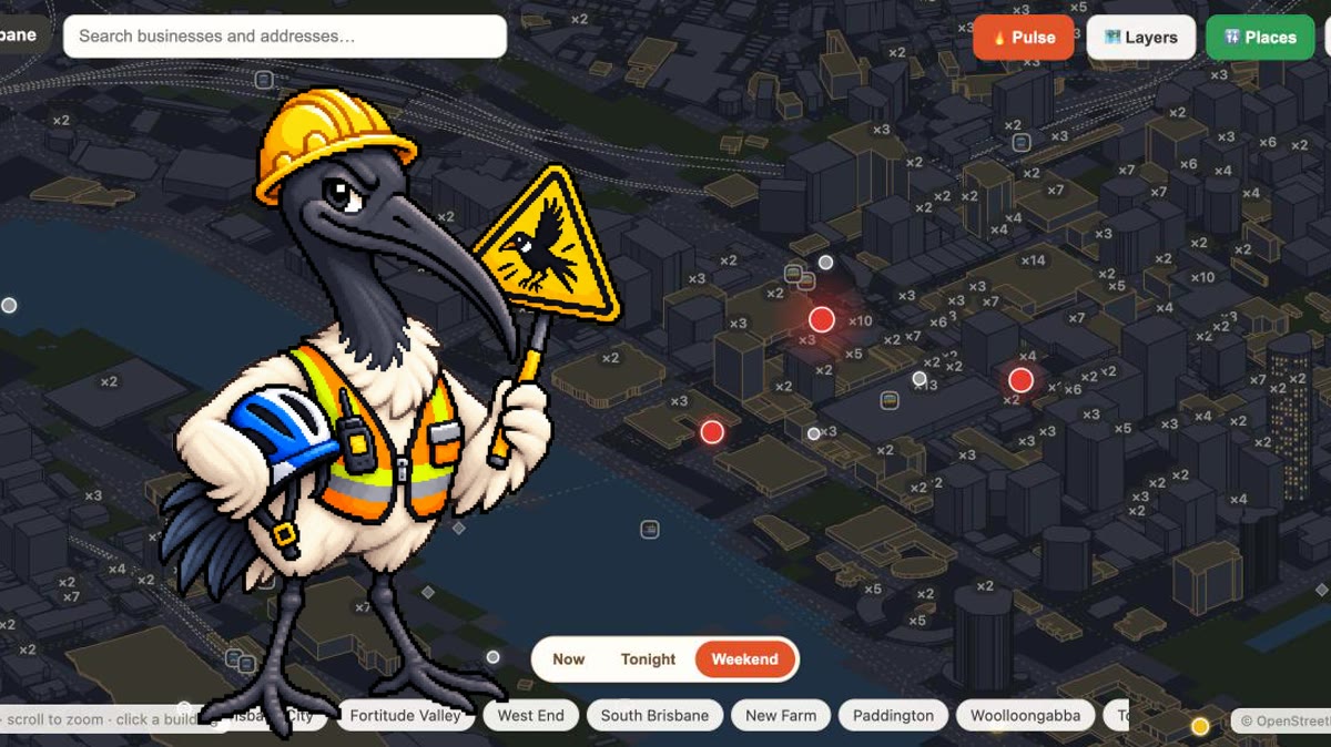
🔥 Buzzing in Brisbane tonight

See it on the live map →
Brisbane City· 7Mount Coot-tha· 2New Farm· 1Fortitude Valley· 1Woolloongabba· 1Dutton Park· 1
Estimated activity from what’s on — not a crowd count.

The map that knows the city

Pixel Brisbane is more than a business directory — it's the whole city, layer by layer, from open data nobody else stitches together.

📷 Brisbane in photos — new

The whole site draws Brisbane in pixels — now the city is sending back the real thing. Photos from people who live here, pinned to the exact spot on the map: browse them as 📷 pins, or upload your own — straight from your phone, we read the location from the photo itself.

Photo in St LuciaPhoto in Brisbane CityPhoto in South BrisbanePhoto in South Brisbane

📷 Browse the galleryAdd your photo

Browse by industry

All categories and cuisines →

Browse by suburb

All 187 suburbs →

Discover Brisbane

Best of Brisbane
Hand-picked lists: restaurants, coffee, pizza, bars and more.
📷Brisbane in photos
Real photos from people who live here, pinned to the exact spot on the map.
🐦Magpie swooping spots
A locals’ heads-up map of where magpies swoop in spring — add your own.
🚧Road closures
Current roadworks and closures across Brisbane, mapped by suburb.
🕒Open right now
Cafes, shops and services open at this very moment — updates through the day.
📮Brisbane postcodes
Every suburb and its postcode, from the official address database.
Wheelchair accessible
Step-free venues across the city, as surveyed on the ground.
☀️Outdoor seating
Patios, sidewalk tables and rooftops — Brisbane does al fresco.
🏖️South Bank
The parklands precinct: restaurants, hotels and the riverside strip.
✈️Airport parking
Terminal car parks, long-term lots and the free park & ride trick.
🚆Train map
Every station on the isometric map, with what’s in walking distance.
🌊Flood map
BCC river flood risk drawn over every building in the city.
🎡Queen’s Wharf
The new riverfront precinct: Sky Deck, restaurants, heritage streets.
Petrol stations
Every servo in the city, suburb by suburb, on the isometric map.
💜Jacarandas
Where Brisbane turns purple every October, and when to go.
🚻Public toilets
Toilets and drinking water fountains, suburb by suburb.
🛝Playgrounds
A thousand-plus playgrounds and the free BBQs to pair them with.
🏙️Tallest buildings
The skyline ranked by storeys — every tower drawn to true height.

From the blog

Read the blog →

Own a Brisbane business?

Your business is probably already on the map. Claiming is free and takes a minute — a “Profile verified” badge, photos, opening hours and priority placement. And the free website tools work even before you claim.

Claim your business — free